Boat-In Sites (Lake Sonoma)
24 mi northwest · US Army Corps of Engineers
Lake Sonoma's Boat-In Sites are scattered around beautiful Lake Sonoma, only a 45-minute drive north of Santa Rosa and a two-hour drive from San Francisco.
Outdoors
Lakes, rivers and beaches near Santa Rosa where swimming is allowed on public land.
Good to know: Most natural swimming areas have no lifeguard; check water-quality advisories and current conditions before swimming.
24 mi northwest · US Army Corps of Engineers
Lake Sonoma's Boat-In Sites are scattered around beautiful Lake Sonoma, only a 45-minute drive north of Santa Rosa and a two-hour drive from San Francisco.
27 mi east · Bureau of Reclamation
Nestled between Blue Ridge and Cedar Roughs east of Napa Valley, Lake Berryessa provides ample public recreation opportunities.
28 mi south · National Park Service
Point Reyes National Seashore offers four backcountry hike in campgrounds and thirteen boat in campsites along Tomales Bay. Note: For reservation purposes, our campgrounds are organized under the "loop" column of the reservation grid.
Map of 9 places loads as you scroll.
Lake Sonoma's Boat-In Sites are scattered around beautiful Lake Sonoma, only a 45-minute drive north of Santa Rosa and a two-hour drive from San Francisco.
Nestled between Blue Ridge and Cedar Roughs east of Napa Valley, Lake Berryessa provides ample public recreation opportunities.
Point Reyes National Seashore offers four backcountry hike in campgrounds and thirteen boat in campsites along Tomales Bay. Note: For reservation purposes, our campgrounds are organized under the "loop" column of the reservation grid.
Aquatic Park Cove is a vibrantly urban harbor that mimics a natural anchorage and is located on the Pacific shores of one of America's great West Coast cities.
An area of 3,295 square miles off the northern and central California coast, Greater Farallones National Marine Sanctuary protects the wildlife and habitats of one of the most diverse and bountiful marine environments in the world.
Kyen Campground and Oak Grove Day-Use Area are conveniently situated on Lake Mendocino, in California's Northern Coast Range where redwood forests meet wine country.
The main feature of the area is a 35-acre lake for non-motorized vessels, trout fishing and swimming. A one-mile trail leads along the lake shore. There are accessible restrooms and a popular fully-accessible fishing pier.
This location is available on a first-come, first-served basis only. Visitors are required to physically arrive at the campground to purchase and claim a site.
Pomo Day-Use Area is situated on Lake Mendocino in California's Mendocino Range, where the redwood forests meet California wine country. The lake is formed by the Coyote Dam on the Russian River.
Distances are straight-line miles from downtown Santa Rosa. Listings come from Recreation.gov’s federal recreation database; check each official page for hours, fees, fire restrictions and closures before you go.
THINGS TO DO · YOUTUBE SHORT
An activity Short shared by Sonoma County.
Watch on YouTube ↗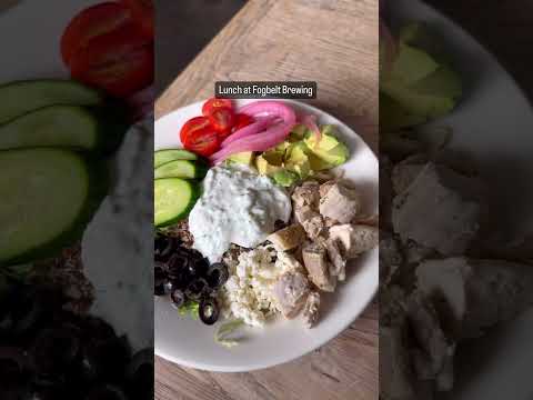
THINGS TO DO · YOUTUBE SHORT
An activity Short shared by Visit Santa Rosa.
Watch on YouTube ↗


Boat-In Sites (Lake Sonoma) (US Army Corps of Engineers), about 24 miles northwest of Santa Rosa as the crow flies. Next are Oak Shores Day Use Area (Ca) (27 mi) and Point Reyes National Seashore Campground (28 mi).
Based on Santa Rosa’s average highs, June–October. Conditions at higher elevations can be much cooler.
Federal agencies including US Army Corps of Engineers, National Park Service, USDA Forest Service. Each listing links to its official page for hours, fees, closures and current conditions.